
Columbus Neighbors Across Public Sources
Each Columbus source answers a different block question. Maps define parcels. Assessment and deed records identify ownership evidence. Historic sheets show earlier block form, while planning records and public organizations describe the community. None is a complete household directory. Treat the date and custodian as part of every result.
| Local source | What it can show around a block | How to reach it |
|---|---|---|
| Elevate or Beacon | Parcel edges, situs labels, owner or tax-card lead, and adjacency | County-named public map routes; live controls need checking |
| Recorder and Doxpop | Deeds, plats, easements, and instruments for adjoining parcels | Portal, Recorder books, public computer, phone, or counter |
| Official city map | Streets, private streets, neighborhoods, parks, rivers, limits, and index | Public county map PDF revised December 21, 2021 |
| Sanborn sheets | Historic footprints, uses, and materials on 1886, 1890, and 1898 blocks | Library of Congress public-domain items |
| Planning records | Zoning, site development, annexation, sign, and variance trails | City Planning and current OpenGov account workflow |
| Association pages | Public contacts, events, governance, and ways to join | Individual public pages; no member rosters found |
An owner display says who the parcel system names, not who sleeps there. The Treasurer mailing address may be elsewhere. A deed records a legal transfer, not a full household. Those limits matter when identifying Columbus neighbors.
Map Columbus Neighbors by Parcel
Begin with one verified parcel and expand only to parcels that legally touch it. A map label can float near the wrong boundary, so capture the parcel ID and situs address for each lot. Then widen to the same block face or subdivision line if the question calls for more context.
- Locate the starting address in Bartholomew County Beacon or Elevate.
- Confirm its parcel ID, situs, legal description, subdivision or lot, and source date.
- Select each touching parcel and record those same fields plus the displayed owner and mailing clue.
- Cross-check the displayed owner in the Recorder index and compare legal descriptions.
- For an entire named road, use the Columbus street directory workflow rather than expanding the block without limit.
The live map's identify, buffer, adjacent-parcel, layer, print, and export controls were not exposed during research. Do not promise a one-click buffer. Clicking and checking each visible parcel is the reproducible fallback.
Two Columbus Parcel Map Routes
The Assessor page directs the public to Elevate. The Recorder and general county navigation use Beacon. This local split deserves a deliberate check. Search the same address in both, then use the parcel number to decide whether the results describe the same legal unit. Never merge a value or owner field merely because the map pins look alike.
Preserve the retrieval date, layer name, map scale, and north arrow when saving a block image. Adjacent labels can change when parcels split, merge, or receive new situs numbers. Current assessment values also follow an annual cycle and do not date a building or establish a sale price.
Record Each Columbus Neighbor Parcel
A consistent field list prevents accidental claims about Columbus neighbors. Capture only what the official card or map displays, and label anything the live interface does not expose.
| Field | How to use it |
|---|---|
| Parcel ID | Stable cross-reference between map, assessment, deed, and plat work |
| Situs address | The physical property address, subject to current addressing |
| Owner display | A dated administrative result that needs a recorded-deed check |
| Mailing address | A notice destination, not proof that the owner or any other person lives there |
| Legal description | The lot, subdivision, tract, or bounds used to connect old and new parcels |
| Source date | Shows when the record was observed and supports later verification |
If a homestead or deduction clue appears, keep its exact label and date. It may support a narrow owner-occupancy inference, but it cannot name every member of a household.
Columbus Plats Explain Block Changes
Two modern adjacent parcels may once have been one tract. The reverse can also be true. A plat is a recorded drawing that divides or describes land, streets, easements, and lots. Search it with the deed and legal description when a historic map does not align with today's parcel edges.
Search neighboring owners as grantors and grantees in Doxpop, but do not infer a family, social, or business tie from adjacency. The Recorder index begins online in January 1963. Earlier block chains move to Recorder books and State Library deed or plat film covering 1822 through 1962.
Compare Old Columbus Block Shapes
The official city map describes current streets, neighborhoods, and city limits. Sanborn sheets capture Columbus blocks in 1886, 1890, and 1898. Put them side by side to see how footprints, uses, street alignments, and lot patterns changed. A Sanborn sheet is a dated historic snapshot, not proof of the current owner or boundary.
Directory entries can add a printed occupant or business for a particular edition. Cite the publisher, year, page, street spelling, and full line. A missing name may reflect a gap, vacancy, changed listing, or unscanned page. It cannot prove absence.
Columbus Neighbors Build Public Groups
Public association pages offer a community layer without exposing private rosters. They can identify contacts, programs, meetings, and ways to take part. Research found no city-maintained master association list and no public member roll for the groups below.
Downtown Residents Association
DRAC describes community membership and monthly socials. Its page displays free Social membership and Premium membership at $50 for 12 months.
Terrace Woods Community
The association describes work tied to recreation, health, safety, and welfare. It does not publish a member roster.
City community organizations
Columbus Community Development lists civic agencies and contacts, while city plans identify neighborhood anchors.
DRAC's public page shows its downtown community offering.
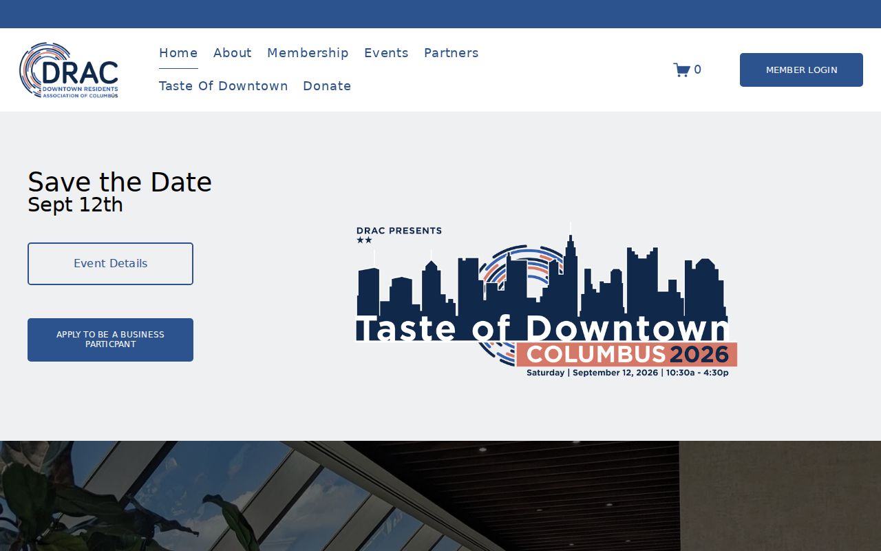
The page helps a resident connect through public channels without turning membership into a private-person lookup.
Terrace Woods describes its neighborhood association online.
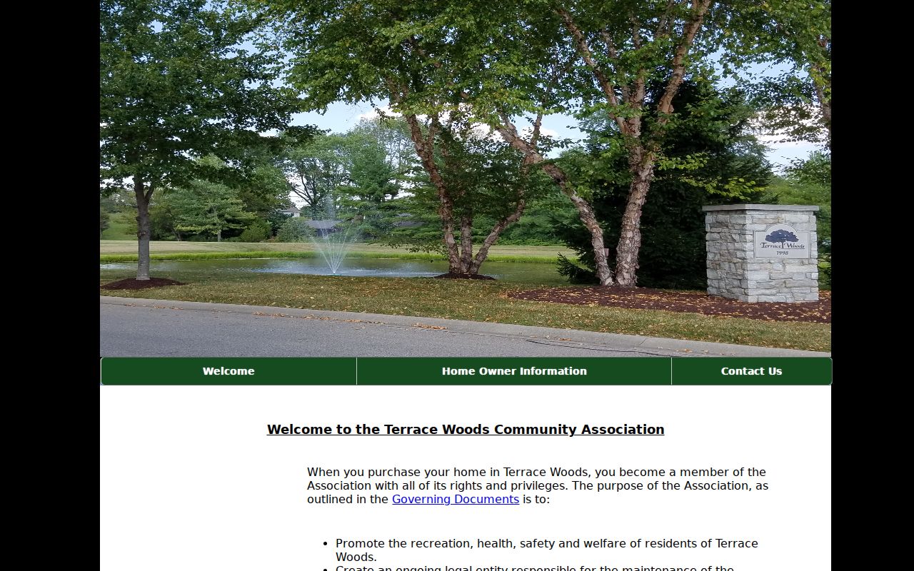
Its public goals add neighborhood context, but the site is not evidence that a named person belongs to the group.
Planning Context for Columbus Neighbors
City plans add place context around Central Neighborhood, State Street, City View, downtown, land use, and mobility. Current zoning, site-development, annexation, sign, and variance work routes through City Planning and OpenGov. The OpenGov workflow began November 17, 2025 and may require an account or payment step.
Columbus publishes a community agencies and organizations page.
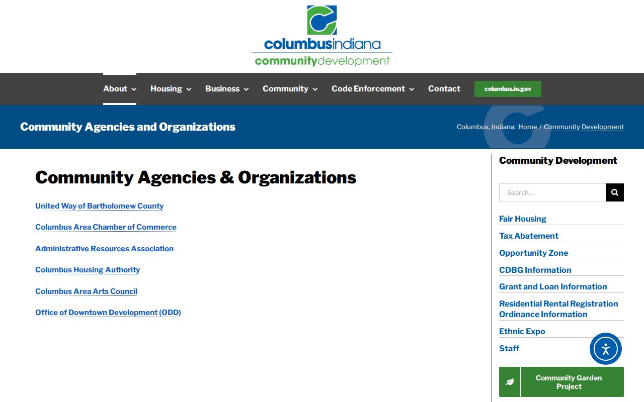
Use those public contacts for civic participation and local help, not as a substitute for a resident roster.
Official Columbus Records Versus Tools
Commercial neighbor tools can merge old addresses, guessed relationships, and data from unknown dates. Official sources are narrower, but they identify a custodian and record purpose. That makes each result easier to verify.
| Point | Official Columbus source | Commercial category |
|---|---|---|
| Origin | Named county, city, library, or archive custodian | Often combined from many unclear feeds |
| Meaning | Limited to the parcel, deed, map, plan, or directory purpose | May imply a household or tie the source did not prove |
| Correction | Verify with the office that keeps the record | Correction and date paths may be unclear |
Use official rolls for the fact they were built to record, then confirm important details at the office. No source should be used to infer private ties among Columbus neighbors.
Respect Columbus Neighbors' Privacy
Parcel and deed records do not name every occupant. Utility customer lists are not public, and motor-vehicle address data is restricted. Indiana's Address Confidentiality Program and related voter protections can withhold addresses for eligible people. The county's voter-data request form also requires a qualifying, certified use; the self-service portal is for a person's own registration details, not a public block roster.
Public association pages describe groups, not their members. No public Columbus congregation, block-watch, fraternal, civic-club, or comprehensive HOA roster was located. That absence is a limit, not an invitation to guess.
Lawful use. Use Columbus neighbor records for civic interest, block history, reconnection, or personal safety awareness. Never watch, harass, intimidate, or harm anyone.