
Columbus ZIP Associations
Official sources associate three five-digit codes with Columbus, but the reviewed material does not publish a complete current boundary polygon or street-by-street delivery table. That limit matters. The coverage table states only what the sources verify and leaves delivery-type or boundary details open where USPS evidence was not available.
| ZIP Code | Areas Covered | Post Office | Notes |
|---|---|---|---|
| 47201 | Columbus-associated postal area; exact boundary not captured | Columbus Post Office, 450 Jackson Street | USPS source lists Columbus, IN 47201-9998 |
| 47202 | Columbus association in USPS routing material | Verify with current USPS lookup | Delivery type, streets, and ZIP+4 ranges not verified |
| 47203 | Columbus association in USPS routing material and a downtown survey | Verify with current USPS lookup | Survey use does not prove boundary or population |
Do not label 47202 or 47203 as PO-box-only, unique, or confined to one neighborhood without a current USPS result. Postal Bulletins from 2018 and 2021 describe routing or label-container changes. They do not prove that a code was abolished, that all addresses moved, or that one code has only one delivery type.
Search Columbus in USPS
The USPS ZIP Code Lookup has three useful modes. Choose the mode that matches the information in hand. An address result standardizes postal data, but USPS says it does not confirm that a named person or company occupies the address.
| Mode | Required Fields | Optional Fields | Use |
|---|---|---|---|
| By Address | Street Address, City, State | Company, unit, ZIP Code | Find and normalize a specific mailing address |
| By City and State | City, State | None exposed | Return postal-code possibilities for Columbus |
| Cities by ZIP Code | ZIP Code | None exposed | Return city-name associations for one code |
Use By Address when a street and house number are known. Use By City and State to identify possible codes, then check the precise address. Cities by ZIP is best for testing whether “Columbus” is a recognized postal city label. None of these modes draws an incorporated city line.
Columbus ZIP+4 and Routes
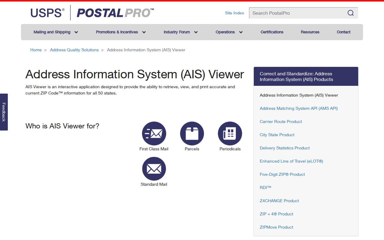
The USPS AIS Viewer describes richer address outputs: five-digit ZIP, ZIP+4, carrier route, county, delivery point and check digit, plus delivery type. Its product descriptions include street, rural, PO box, general, unique, military, and non-active types. The page says address products update monthly and displayed an August 17, 2026 update during research.
The current AIS information page is pictured below. Use its date as a freshness clue, not as proof that every Columbus route or boundary stayed fixed after that release.
A ZIP+4 narrows a delivery segment beyond the five-digit code. It still does not identify a household or establish which government has jurisdiction over a parcel. Check the current version date whenever an old mailing list, directory, or archived route is compared with a live Columbus address.
Find Columbus Records by ZIP
No public assessor, voter, or GIS ZIP-wide result screen was captured in the research. The reliable method begins with USPS and then moves to the official source for the address or person. A Columbus ZIP code directory narrows postal geography; it does not promise a complete list of parcels or voters.
- Enter a known street address in USPS By Address. Keep the standardized address and returned ZIP+4 when available.
- Check the city names tied to that code through Cities by ZIP. Treat them as postal labels.
- Open Bartholomew County GIS or the city map. Compare city limits, the parcel situs, nearby streets, and planning jurisdiction.
- Use the parcel identifier or owner display for property research. Confirm legal title with the Recorder and deed instrument.
- For voter information, use Indiana Voters for self-service tasks or ask the County Clerk about the regulated VRG-24 route.
Once the postal area is narrowed to a named road, the Columbus street directory explains the address-level parcel and record chain. Keep the ZIP result in the search log, but do not substitute it for a legal description or municipality.
47201 Columbus Post Office
An official USPS notice lists the Columbus Post Office at 450 Jackson Street, Columbus, IN 47201-9998. This supports a direct Columbus association for 47201 and identifies a local point for current postal information. It does not publish the code's complete perimeter or define which streets fall inside city government boundaries.
For a current delivery question, use USPS channels and the live lookup. The Postmaster Finder can also search historical post offices by a ZIP range or first three digits, but it is a history tool rather than a modern parcel map. Old directories can preserve period address wording when a family-history search predates the current postal layout.
Note: Current delivery status comes from USPS, while parcel location and legal jurisdiction come from county or city records.
Columbus ZIP Numbers in Context
Columbus had 50,474 residents in the 2020 Census, and the 2025 Census estimate is 52,655 across 28.10 square miles. Those city figures cannot be divided by ZIP from the material reviewed. ZIP routes cross other geographic layers, and Census areas need not share their edges.
A Downtown 2030 appendix counted 517 survey responses from 47201 and 300 from 47203, together 84 percent of responses. The count describes that survey, not the population of either ZIP. It is a useful example of how local reports use postal codes as broad response categories without creating an official boundary or resident count.
How Columbus ZIP Codes Work
USPS ZIP basics explains why a preferred city name can differ from an incorporated municipality. The official explanation is shown below, giving the postal frame needed before a Columbus code is compared with a county parcel or city map.
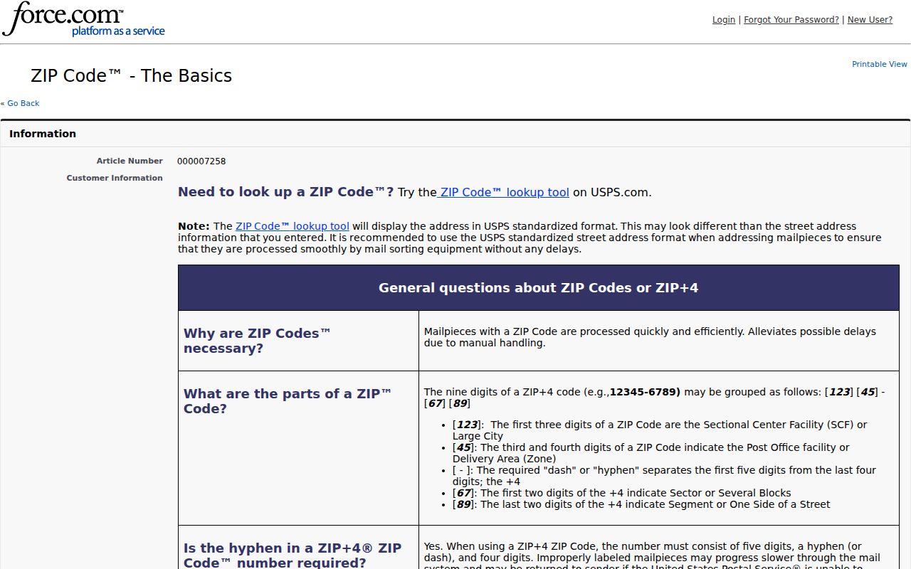
The postal rules help explain why a valid Columbus mailing label may not answer whether the site lies within incorporated Columbus. Both facts can be accurate at the same time.
Columbus ZIPs and City Limits
A postal city name may not match the incorporated municipality. A Columbus mailing address can lie outside the city-limit line, while a parcel within the city may carry a postal label that does not describe its government jurisdiction. The 2021 county and city map shows city limits, streets, private streets, neighborhoods, and other local features. Use it with county GIS instead of inferring a city line from the five-digit code.
County GIS and the Surveyor map index are the documented local geography routes. City Planning handles annexation and zoning-map changes. Preserve the parcel identifier exactly when moving between systems. It is the stable bridge among the street label, subdivision, lot, block, and the Recorder's legal description. No official list of enclaves or annexations by address was found, so uncertain cases require a current map or office check.
- ZIP and ZIP+4
- A five-digit delivery area and its more precise four-digit delivery segment.
- PO-box delivery
- Mail routed to a post-office box rather than a street delivery point.
- Unique ZIP
- A code assigned to one organization with enough mail volume; none was verified for Columbus here.
- Carrier route
- A group of delivery points served on one postal carrier's route.
Boundary check. Use ZIP for mail, GIS for map position, and municipal records for Columbus jurisdiction. Never treat one layer as all three.